Interactive map of watershed-based pollution monitoring in southern BC, Canada
Highlights from our water quality monitoring partnerships.
Gerle B, Ross PS. 2026. Interactive map of watershed-based pollution monitoring in southern BC, Canada. [web map]. Sidney (BC): Raincoast Conservation Foundation. DOI: https://doi.org/10.70766/3.96221
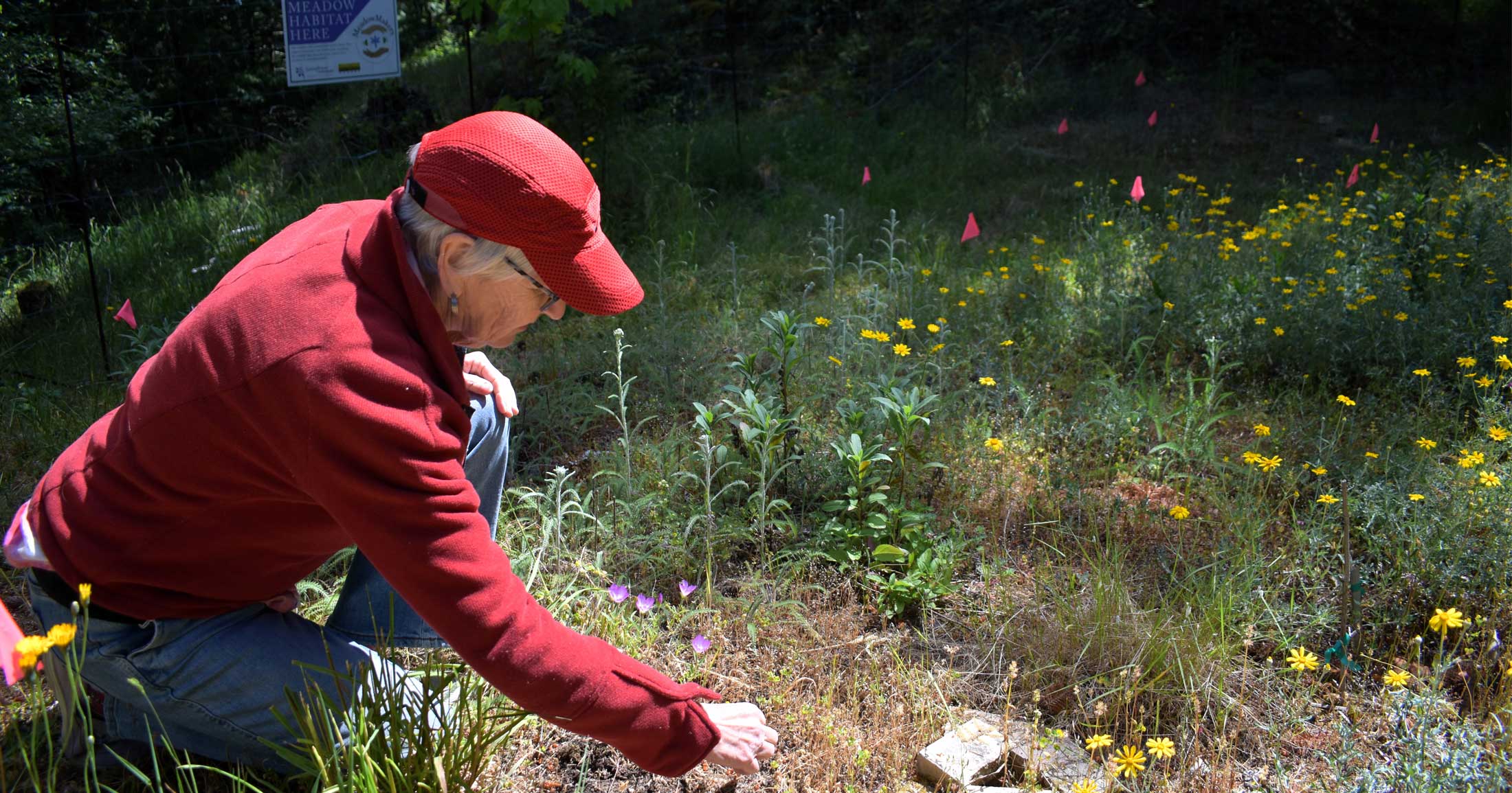
This map provides an overview of water pollution findings from the 12 partnering watersheds that drain into the Fraser River and Salish Sea. Raincoast’s Healthy Waters program has established this new approach to monitoring water pollution by working with Indigenous Nations, communities, and governments.
Watersheds serve as the basis for characterizing water quality from mountain peaks to the sea, and provide an opportunity to identify pollution sources or activities that degrade fish habitat.
The goal of Healthy Waters is to empower communities with a clear understanding of water quality in their watersheds, allowing for local protection and restoration initiatives. Collectively, the lessons learned from our partnering watersheds will contribute to a greater understanding of threats to water quality across British Columbia, and ultimately what policy changes can be implemented to protect the quality of water for the future of salmon, whales, and people.
Our comprehensive, high-resolution analysis of water will document the extent to which nearly 600 different contaminants are released into BC waters, including nutrients, metals, hydrocarbons, pesticides, pharmaceuticals, surfactants, PCBs, per- and poly-fluoroalkyl substances, and tracers of human waste. This spectrum of analyses will enable source identification and a ranking of risks to fish habitat within and among watersheds, supporting source controls and best practices in waste management, civil engineering, and riparian zone design. Water samples are collected from five categories of water: source water, stream and river water, road runoff, tap water, and marine water. This approach allows people to see their role in protecting salmon habitat.
We created this map to highlight where Healthy Waters is conducting water sampling in British Columbia. By linking water quality reports directly to the watersheds where sampling takes place, we aim to provide members of the public, Indigenous communities, and others in decision making roles a clear and engaging picture of water quality conditions in their region. As our work continues, this map will act as a living atlas of water quality reports across the watersheds we monitor.
Map citation
Gerle B, Ross PS. 2026. Interactive map of watershed-based pollution monitoring in southern BC, Canada. [web map]. Sidney (BC): Raincoast Conservation Foundation. DOI: https://doi.org/10.70766/3.96221
About the map
This map displays the watersheds that Healthy Waters has conducted water quality monitoring in. In partner watersheds, sampling takes place once in the wet season and once in the dry season each year. Sampling twice a year allows us to capture how water quality changes seasonally.
Accessory watersheds are those where we have conducted a simplified pilot study. The results from these latter pilot studies can be compared against the more comprehensive sampling done in other watersheds, and contribute to an understanding of threats to water quality, monitoring options, and action priorities.
Each sampling event produces a detailed water quality report, which can be accessed through the information panel on the map – or by clicking on an individual watershed on the map. Future reports will be added as they become available. An index of all published reports can also be found on the Healthy Waters community water monitoring page.
Using the map
Click the arrows at the bottom of the panel to be guided through the different watersheds at your own pace, or click the play button to be taken on an automatic tour of each watershed. To explore in 3D, use your mouse to pan (left-click and drag), tilt (right-click and drag), and zoom (mouse wheel). Alternatively, use the pan, tilt, and zoom buttons located on the map.
References and sources
GeoBC Branch. 2006. Freshwater Atlas Watersheds. Distributed by B.C. Data Catalogue [cited 2023 July] from www.catalogue.data.gov.bc.ca/dataset/freshwater-atlas-stream-network. Contains information licensed under the Open Government Licence – British Columbia.
GeoBC Branch. 2009. Freshwater Atlas Assessment Watersheds. Distributed by B.C. Data Catalogue [Cited 2023 July] from https://catalogue.data.gov.bc.ca/dataset/freshwater-atlas-assessment-watersheds. Contains information licensed under the Open Government Licence – British Columbia.
Acknowledgements
Thank you to Peter Ross and Samantha Scott for providing guidance on watershed boundaries.
Copyright
Please feel welcome to embed, share, and remix this information, as long as you provide proper attribution, and with the exception for the layers that have their own licenses. https://creativecommons.org/licenses/by/4.0/