A year in review: What was Achiever up to in 2025?
Watch our research vessel travel around the BC coast using our live tracking map.
Brooke uses GIS to support multiple Raincoast programs and projects. Now living in British Columbia, Brooke spends her free time watching birds and other wildlife, exploring the local hiking trails, and spending time with her cat and foster dog.

Watch our research vessel travel around the BC coast using our live tracking map.
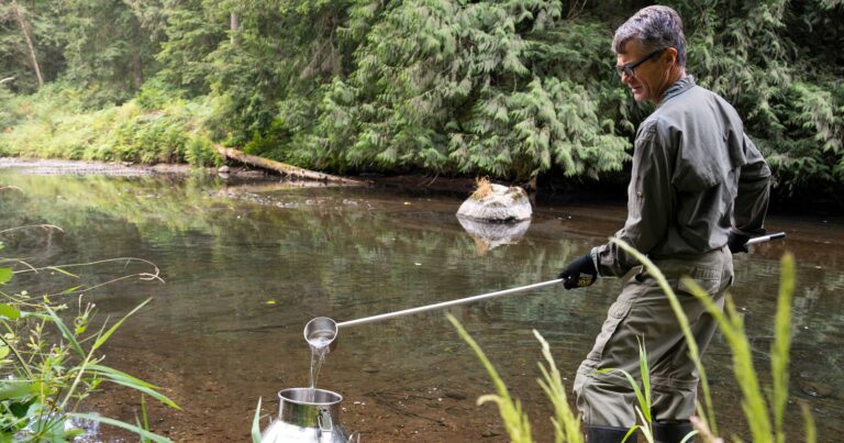
How can we use the movement of water through the landscape to inform our understanding of water quality?

We have mapped the watersheds that feed into critical habitat for Southern Resident killer whales. Protecting these rivers is directly linked to the recovery of critically endangered whales.
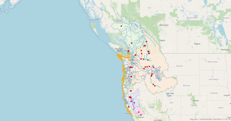
We created this map to emphasize the relationship between the recovery of Southern Resident killer whales and the recovery of wild Chinook salmon.