
Climate change
We use a comprehensive approach to inform actions that benefit salmon ecosystems in a changing climate.
Photo by Fernando Tessa.
Climate change is causing severe hydrological shifts in salmon streams through long-term reductions in snowpack, earlier spring melts, increased frequency of heat waves, atmospheric rivers and flood events, and increased drought frequency. These impacts create conditions unsuitable for wild salmon to recover and thrive.


Unsustainable land use is compounding the impacts of climate change
Unsustainable land use occurring throughout the province is making these conditions even worse. Clear-cut logging, mining, and water withdrawal for industry and agriculture alter salmon habitat, reduce streamflow, and increase water temperatures. Stream-type Chinook and coho salmon that spend a year in freshwater before migrating to the ocean are particularly vulnerable to degraded freshwater habitat caused by logged forests, fires, droughts, and floods.
Forestry degrades salmon habitat
Logging can alter the delivery and storage of water, nutrients, wood, and sediment in streams. This results in changes to the habitat, growth, and survival of juvenile salmon. Clear-cut logging can increase turbidity in salmon-bearing streams affecting survival of eggs and fry, while the conversion of old growth forest into plantation monocultures can lower summer stream flow and increase temperatures. The legacies of antiquated forest management that prioritizes harvestable timber above all other values confounds the effects of climate change on freshwater habitat quality and quantity for salmon.

Wildfires impact salmon
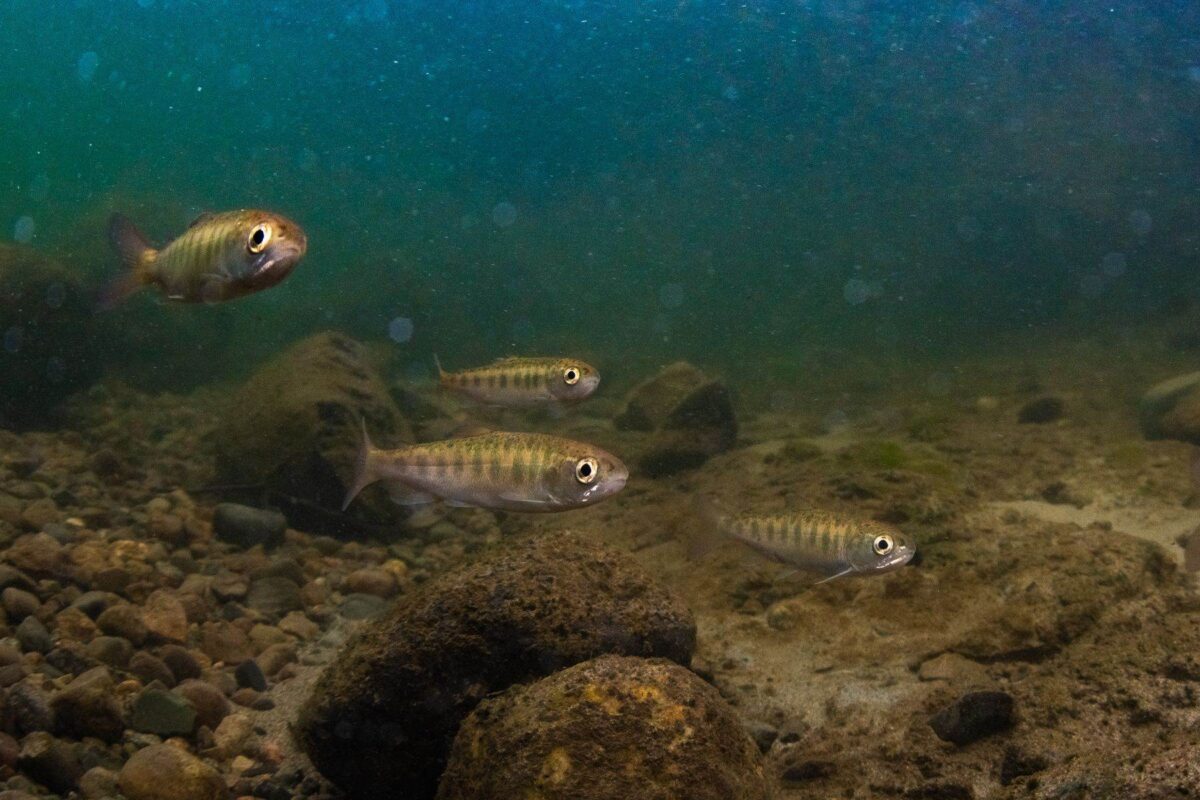
Recent wildfires in BC have brought climate-change related effects into focus: wildfires are getting larger, more intense, and more frequent. The suppression of wildfires can increase fuel load and the corresponding severity of wildfires, particularly in the drier and hotter regions of the province.
The loss of vegetation and alteration of soil properties from hot wildfires can dramatically change the way rainfall permeates soil, and can cause increased runoff, sedimentation, and landslides that can smother incubating salmon eggs. Additionally, fire retardants used to suppress fires contain compounds that are toxic to aquatic life and can increase fish mortality, particularly for young Chinook salmon.
Floods impacting salmon
The forest management paradigm of British Columbia has increased the magnitude of and frequency of the biggest floods. In snow-dominant watersheds, such as those of the BC interior, reduced forest cover from logging leads to faster snowmelt and larger floods. Increased flood risk can degrade water quality through increased sedimentation and contaminants, and can kill incubating salmon eggs from riverbed scouring.


Engaging with decision-makers
Now is the time to improve federal and provincial land-use policies for the health and climate resiliency of ecosystems and to advance the recovery of at-risk salmon populations. These policies must support freshwater security at the community level and uplift the rights and priorities of Indigenous peoples.
Raincoast is engaging with decision-makers at all levels of government to advocate for science-based policy solutions that ensure wild salmon are resilient in a changing climate.
Recent reports
Recent articles

From laundry to the ocean: fixing the microplastics problem in clothes

Guide government action for Southern Resident killer whale recovery before Feb 19

We did it! KELÁ_EKE Kingfisher Forest has been protected!

New research proves that nutrients from the sea can increase terrestrial plant growth and reproduction

The story of Coastal Douglas-fir forests: The biodiversity potential of privately-owned land
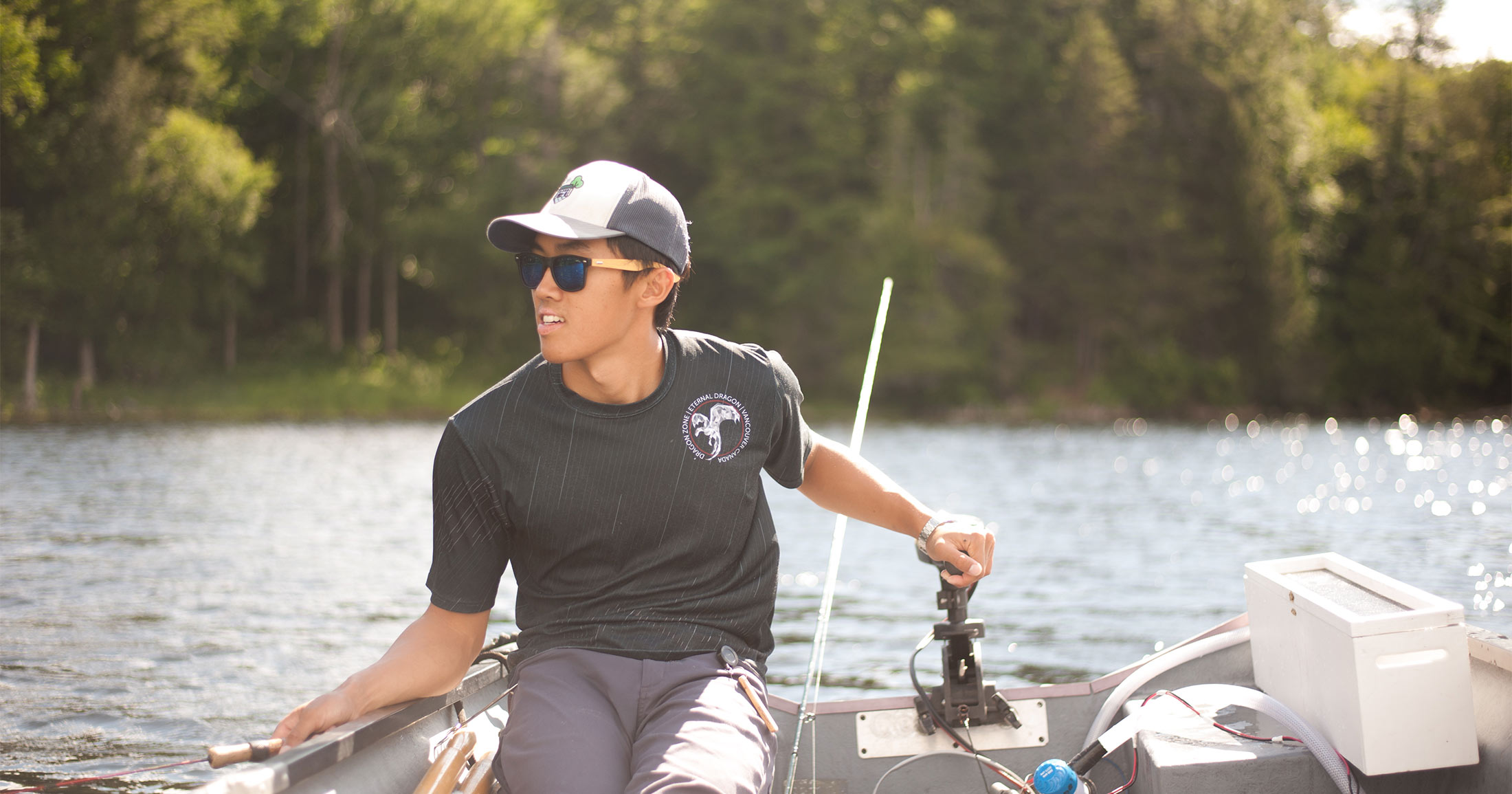
Meet Auston Chhor, Raincoast’s new Wild Salmon Governance and Policy Analyst

Fly with care: avoiding disturbance when using drones to study cetaceans
