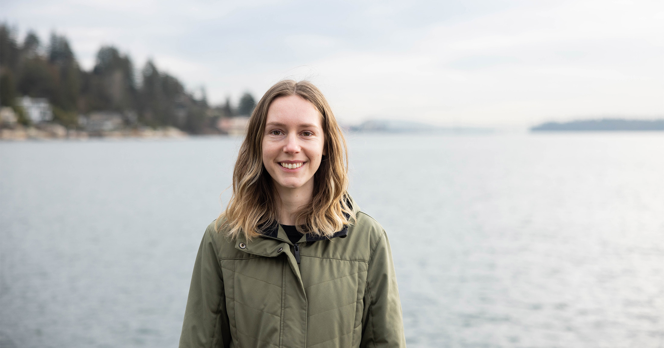
Meet Brooke Gerle, Raincoast’s new Mapping Technician
Brooke has joined our team to assist all of our programs through the development of maps.
Brooke Gerle has joined our Communications team as a Mapping Technician. She will assist in spatial analysis, the creation of maps, and report and article writing in support of Raincoast’s programs.
Brooke completed her bachelor’s degree in Biology from Dalhousie University. After 3 years of working and volunteering in wildlife rehabilitation, Brooke returned to school to complete a post-graduate certificate in Geographic Information Systems (GIS). So far, Brooke has created an informative map which highlights the major Chinook watersheds that are critical for the recovery of both salmon and whales. The map was created to emphasize the relationship between the recovery of Southern Resident killer whales and the recovery of wild Chinook salmon. We are looking forward to creating more maps to support our work with Brooke!
We posted some questions to Brooke to help you get to know her better.
Can you tell us about your background and what made you want to study GIS?
I grew up in southeastern Saskatchewan with a fascination for the outdoors and the animals that lived there. I was always watching out the car window to see how many moose, deer, pronghorn, foxes, coyotes, and birds I could spot. As I grew up, I knew I wanted to work to help protect animals and the environment but wasn’t sure how exactly I was going to do that. I started my undergrad in Environmental Science before making the switch to Biology during my first year.
After moving around and completing semesters at Brandon University, Memorial University, and Thompson Rivers University, I finally finished my undergrad at Dalhousie University and graduated in October of 2020. In early 2021 I moved to British Columbia and spent the summer working at Wildlife Rescue Association of BC. That summer I began to explore GIS and was quickly captivated by the power of maps. I went back to school that fall to complete a postgraduate certificate in GIS and here we are!
Now that you have joined Raincoast, what do you think maps can offer Raincoast’s programs?
Maps provide a visual aid that can make content more interactive, engaging, and digestible. Interactive maps allow people to immerse themselves in the content and explore at different scales. Maps also provide context and can make complicated concepts easier to understand. Trends often become easier to see, and maps can reveal trends that weren’t previously evident. Maps allow us to see things from a different point of view, opening up the limited perspective we have from the ground.
Does mapping tell us something about the broader project of science?
Humans have been using maps to try to better understand the world around them for thousands of years. We are inherently curious and want to understand how and why things are the way they are. Throughout time this has largely been done using science. Mapping is a combination of science and art, often being used to enhance our understanding of the world and to showcase different characteristics of it. Maps can be used alongside science to display changing sea levels, animal migration routes, forest loss, and infinite other topics. While science and mapping were likely more about survival thousands of years ago, they are now broadly applicable to almost every aspect of our lives.
What is your favourite map you’ve ever made? What is your favourite map someone else has made?
My favourite map was actually a series of maps I made for East Coast Aquatics Inc. while completing my GIS program. I was provided with GPS data from endangered wood turtles to create maps and conduct a spatial analysis of their movements and behaviours. This gave insight into trends such as where they nest, how far they travel, how behaviours differ between males and females, how much time they spend in the water, how much they climb, their overwinter durations, etc. This project provided very interesting and important results that I hope can contribute to wood turtle recovery in Nova Scotia.
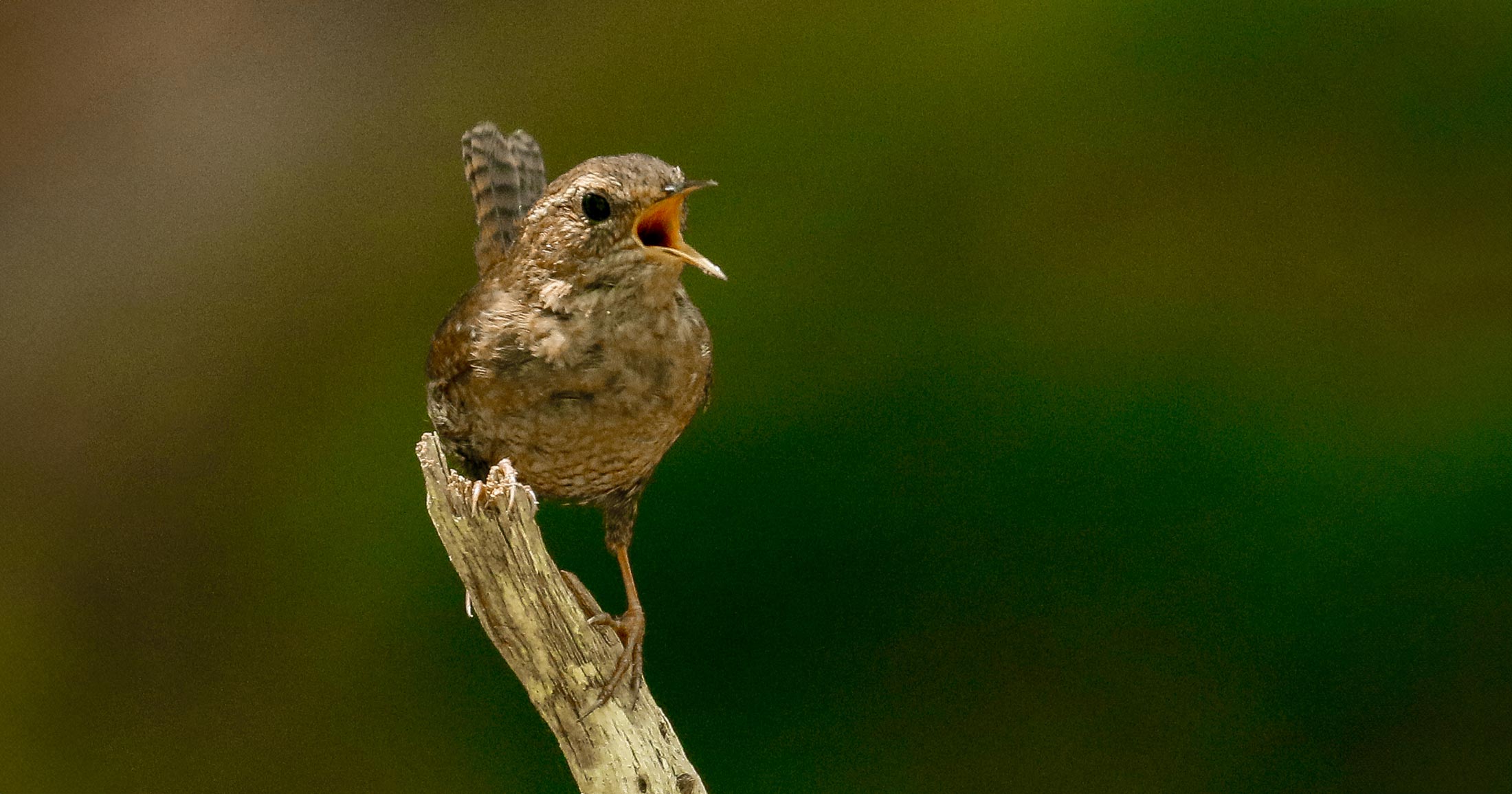
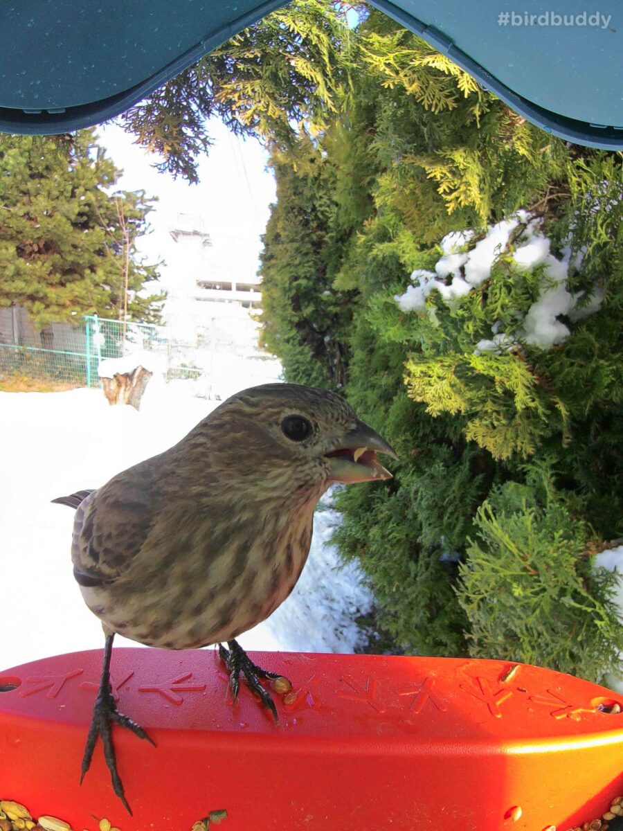
While there are tons of incredible maps out there, my current favourite is the Bird Buddy Heartbeat map. Bird Buddy is a smart bird feeder that captures photos and videos of the birds that land on it. The recently created Heartbeat map uses data from Bird Buddy feeders around the world to display species and location data in real time. It has downloadable data for previous months, shows busiest times of day so you know when to check back, and often includes photos of the birds. I could spend all day watching birds pop up on the map and exploring the different species that can be found around the world. This map is still being developed and I can’t wait to see what else they do with it, especially with the conservation potential this data provides. Here are some of my favourite photos captured by my Bird Buddy. (An important reminder: if you are going to feed birds, always do so responsibly).
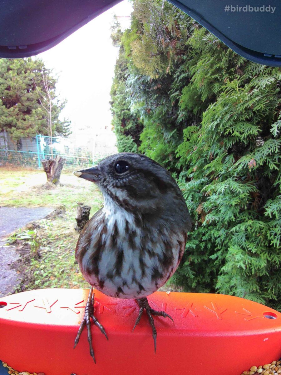
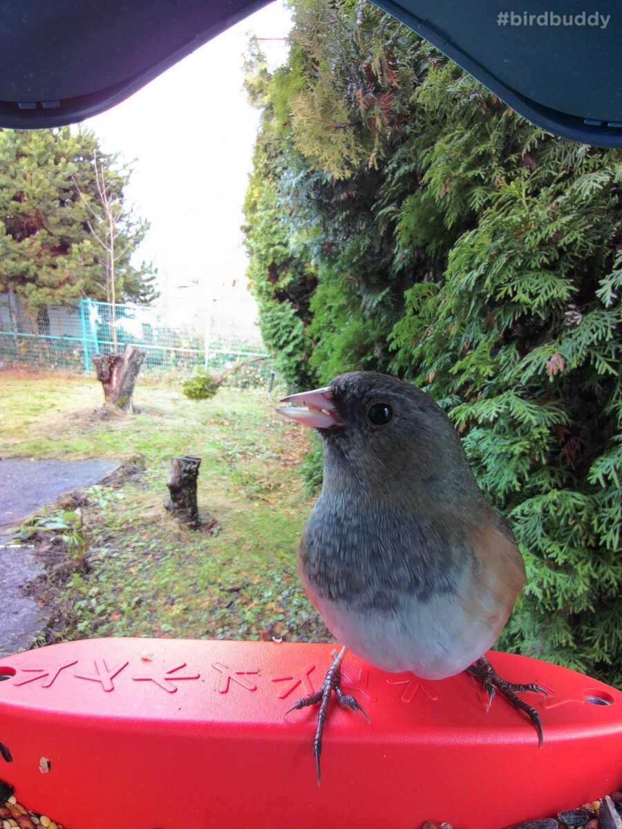
What is your favourite world map projection, and why?
All map projections have their own pros and cons, including some level of distortion. Because of this, I don’t have an overall favourite per se. My favourite map projection is the one that best preserves the properties that are most important for the project at hand. There are trade-offs between properties such as area, shape, direction, and distance, so the projection I tend to lean towards varies depending on what part of the earth I am looking at and what the map is trying to display.
You frequently foster dogs, what drew you to caring for animals?
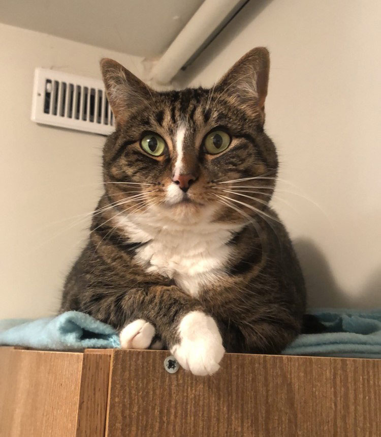
I have always had a soft spot for animals. While my brother was busy harassing bugs and gophers I was never far behind to ruin his fun. That empathy stayed with me as I grew up to have a deep appreciation for living creatures and the earth that supports them. Almost all my previous jobs have involved working with animals in some respect and I am so excited to have joined Raincoast where I get to use GIS to help protect wildlife and habitats. This is my cat, Boots, who was my first foster animal back in 2016 and has been my sidekick ever since.
You can help
Raincoast’s in-house scientists, collaborating graduate students, postdoctoral fellows, and professors make us unique among conservation groups. We work with First Nations, academic institutions, government, and other NGOs to build support and inform decisions that protect aquatic and terrestrial ecosystems, and the wildlife that depend on them. We conduct ethically applied, process-oriented, and hypothesis-driven research that has immediate and relevant utility for conservation deliberations and the collective body of scientific knowledge.
We investigate to understand coastal species and processes. We inform by bringing science to decision-makers and communities. We inspire action to protect wildlife and wildlife habitats.

