Big tree hunting on Salt Spring Island
Big tree registries are widely recognized as an important tool for identifying high priority conservation areas, since, generally speaking, big trees are indicative of mature forests and therefore higher biodiversity when compared to younger forests.
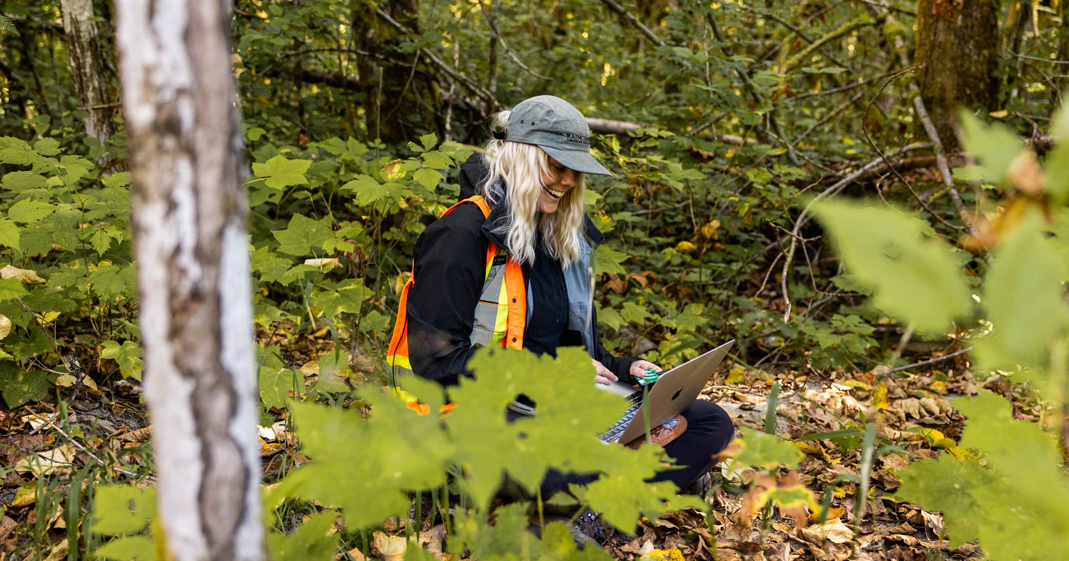
Earlier this month I spent two beautiful days on the coast of the Salish Sea, hunting for big trees. I was fortunate to join a research group of passionate “tree people” including Dr. Tara Martin, head of the Conservation Decisions Lab in the Faculty of Forestry at UBC; her Research Assistant, Cassandra Holt; Tony MacLeod from the Salt Spring Conservancy, and Jeff Shatford from the Ministry of Forests, Lands, Natural Resource Operations and Rural Development to measure some of the tallest trees on Salt Spring Island.
Contributions from Cassandra Holt (Research Assistant in the Martin Conservation Decisions Lab in the Faculty of Forestry at University of British Columbia).
In 1986 Randy Stoltmann initiated British Columbia’s first big tree registry, following the example of organizations like American Forests and The New Zealand Notable Trees Trust, both of which established their national registries in 1940. The records became publicly available in 1993 when Stoltmann published the book “Guide to the Record Trees of British Columbia”. Following his tragic and untimely passing less than a year later, many of Stoltmann’s records including maps and photographs went missing and the registry fell from use until the Conservation Data Centre took over its management. Eventually all records were digitized and taken over by the University of British Columbia. In its current form, the BC Big Tree Registry holds the records of 343 big trees, 236 conifer and 107 broadleaf species, from across the province.
Big tree registries are widely recognized as an important tool for identifying high priority conservation areas, since, generally speaking, big trees are indicative of mature forests and therefore higher biodiversity when compared to younger forests. The efficacy of this strategy was proven in July 2019 when the BC government announced it would protect 54 trees identified in the BC Big Tree Registry, along with 1 hectare of land surrounding each stem. While this is a start when it comes to protecting old growth forests in BC, it is happening at an alarmingly slow pace considering the rapid loss of big trees across the province, especially in endangered areas like the Coastal Douglas-fir biogeoclimatic zone, which encompasses the southern tip of Vancouver Island and the Gulf Islands.
In response, NGOs, researchers, and concerned citizens have been working together to gather information on big trees on a few Gulf Islands, including Salt Spring and the Penders. One important method being used by Martin and Holt, has been using LiDAR data to identify the location and size of big trees growing on Salt Spring Island. This is where our team gathered to “ground-truth” (i.e. tested) the accuracy of this big tree data.

We spent two days testing our methods and craning our necks trying to spot the tops of trees up to 60m tall. With our eyes to the skies (or glued to a GPS screen), we often found ourselves stumbling through tangles of Salal and Himilayan blackberry trying to reach Douglas-firs perched on slope-sides or Grand firs growing in depression bottoms. We encountered fire-scarred trees, along with living CMTs (culturally modified trees) with wavy clefts depicting where wood had been removed, likely hundreds of years ago. I ended the days sticky with pitch after repeatedly wrapping my arms around grandmother trees so thick that it took two tapes to measure their diameters.
The purpose of our work is described by Holt:
There are few big old trees remaining on Salt Spring Island, and many of those left are not protected. These trees and the stands they’re in are important because they provide critical habitat for species at risk, such as marbled murrelets; offer insight into historical fire regimes and First Nation use; and have significant social value for communities. This work aims to protect them for future generations by identifying the locations of these big trees.
We used data from LiDAR, a remote sensing method that uses lasers to detect what is on the ground from aircraft, to extract individual tree heights across the whole Island (yes, every single tree!) and then mapped the tallest trees (>50m) with land tenure (i.e. ownership) to understand their distribution. Which brings us to our fieldwork.
It is important to ground-truth the LiDAR data to verify whether the calculated tree heights are accurate and reliable. We measured a subset of tall trees using specialized hypsometers and cross-checked them against LiDAR-generated heights. Who knew finding out the heights of trees could be so exciting (and also slightly addictive- “I wonder how tall that one over there is!? What if we just measured this one as well…”)
If we find the LiDAR data to be accurate, we can use this knowledge of the locations of big trees to help protect parts of Salt Spring Island. This method could also be applied to other Gulf Islands, such as North and South Pender. Moving forward, we hope to use newly-collected LiDAR data provided by the Islands Trust to assess where trees have been lost over the last decade.
In the coming months, we hope to extend our ground-truthing efforts to North and South Pender Island. While this will support the work being done by Martin and Holt, it has the added benefit of identifying candidates for Raincoast’s Gulf Islands Forest Project’s newest undertaking: The Pender Islands Big Tree Registry. Following the example of Gabriola Island, and many States across the USA, we are developing a localized registry to increase local awareness about the value of preserving and protecting the big trees that are becoming increasingly rare on the Gulf Islands due to private land development.
Along with the ecological benefits, another lauded aspect of big tree registries is their dependency on nominations from the public. This participation often generates local support for actions that ensure tree and forest preservation, which is an essential element for conservation success! By launching the Pender Islands Big Tree Registry this fall, we hope to draw attention to the importance of preserving remaining big trees and creating opportunities for younger, second-growth trees to become the champion big trees of the future.
For big trees still out there.
[clear]
You can help
Raincoast’s in-house scientists, collaborating graduate students, postdoctoral fellows, and professors make us unique among conservation groups. We work with First Nations, academic institutions, government, and other NGOs to build support and inform decisions that protect aquatic and terrestrial ecosystems, and the wildlife that depend on them. We conduct ethically applied, process-oriented, and hypothesis-driven research that has immediate and relevant utility for conservation deliberations and the collective body of scientific knowledge.
We investigate to understand coastal species and processes. We inform by bringing science to decision-makers and communities. We inspire action to protect wildlife and wildlife habitats.

