Maxwell Creek Watershed Project Field Files Part 5: Experimental forest restoration methodologies
Together this community of practice has been developing new approaches to manage growing concerns around the degraded condition of BC’s forests.
What's new // Transition Salt Spring
Together this community of practice has been developing new approaches to manage growing concerns around the degraded condition of BC’s forests.

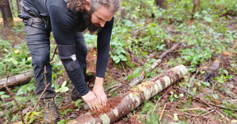
Multiple practitioners working under the umbrella of the Maxwell Creek Watershed Project (MCWP or “the Project”) have contributed to this third instalment of the Field Files series, a photo essay illustrating the important role spatial data and mapping plays in establishing landscape-wide restoration projects. All maps were made by Nicholas Courtier, who also assisted with…

Registered environmental charity, Transition Salt Spring has partnered with experts and organizations from across the Coastal Douglas-fir biogeoclimatic zone, including Raincoast Conservation Foundation, to provide a model for on-the-ground, multidisciplinary, multisectoral, and collaborative climate action. We interviewed Ruth Waldick from Transition Salt Spring to learn more about Maxwell Creek Watershed project. What is the Maxwell…