Oil and chemical spill tracking

Spills of oil and chemicals into freshwater and ocean environments have killed fish, degraded habitat, and led to closures of commercial, recreational, and Indigenous fisheries. Raincoast’s Healthy Waters Program is positioned to collect data at the scene of a spill and collaborate with various organizations and First Nations to understand the impact of a spill. 

Tracker will host a number of rugged analytical instruments, and enable the measurement of several contaminants in the field, including coliform bacteria, nutrients, metals, pesticides, and tracers of wastewater effluent.
Photo by Peter Ross.
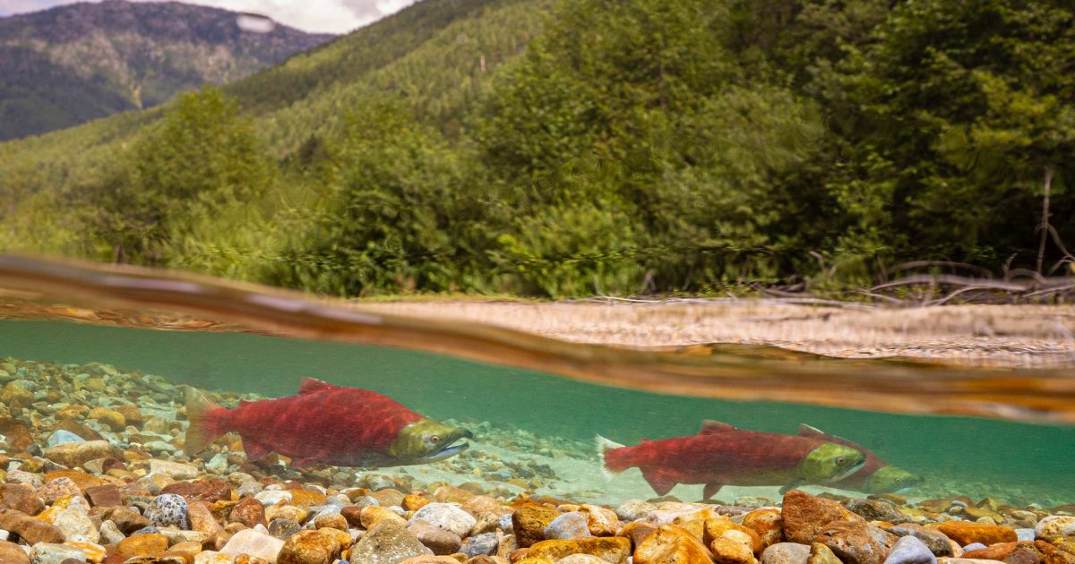
Two sockeye salmon swimming in a river.
Photo by Fernando Lessa.

Spills happen

Spills originate from all manner of accidents. The 2005 train derailment that spilled caustic soda into the Cheakamus River that killed 500,000 fish, The 2015 spill of 3,000 L of Bunker C oil from the MV Marathassa into English Bay. The 2020 fire aboard the MV ZIM Kingston in Juan de Fuca Strait that resulted in the loss of 104 mixed cargo shipping containers into the ocean. Each and every accident is bad news, and threatens the health of fish and whales, and contributes to the degradation of their habitats.

Being prepared is key

Given the sudden and unpredictable nature of oil and chemical spills, our oil and chemical spill response work entails being agile and available for support to First Nations, government agencies, and industry during a major spill. We are developing science protocols, and acquiring sampling kits, field equipment, and safety gear, and are poised to deploy our team to the scene of a spill. 

Being prepared on all fronts is key to limiting the damage from a spill. We recognize that with spills, it’s not a matter of if, but when. Research and monitoring to confirm the origin of the spill, track the fate of the spilled product, and monitor the recovery of ecosystem components routinely fails to be a priority. We will deploy expert capacity where and when needed, and work to prevent harm to valued ecosystem components.
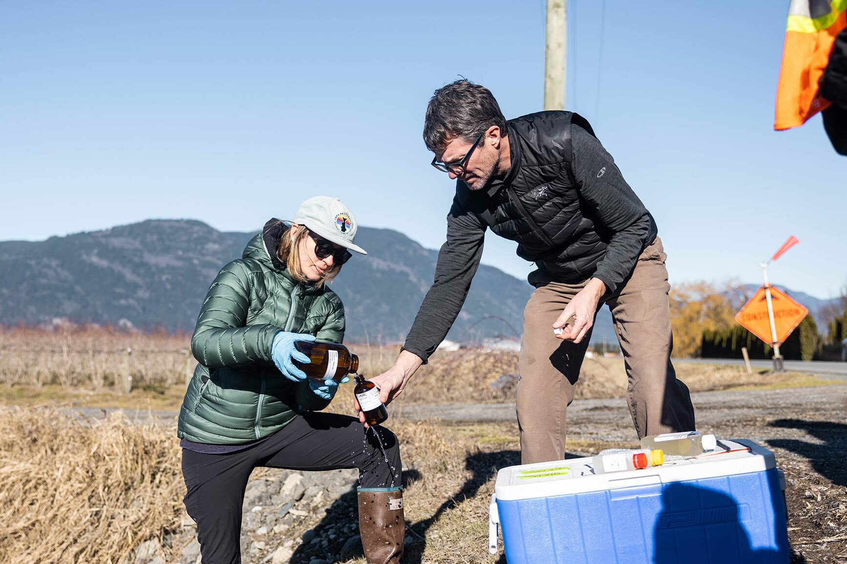
Two people working together to collect water samples in a farm field with the mountains in the background.
Photo by Alex Harris.
https://www.raincoast.org/reports/flood

Semá:th X̱ó:tsa (Sumas Lake) Floods of 2021

The catastrophic floods of late 2021 in southern British Columbia (Canada) and neighbouring Washington State (USA) destroyed homes, farms and businesses, with excess water spilling debris, animal carcasses and diesel fuel into historically productive fish habitat. 

We assembled a team to assess water quality in the former Semá:th X̱ó:tsa (Sumas Lake) area of the Fraser Valley over a seven-week period after the floods. We collected water samples from 11 surface water sites and four groundwater sites for comprehensive contaminant analysis and a subsequent risk-based evaluation. We measured 379 analytes (chemical components and bacteria), including 262 anthropogenic contaminants. We examined excess nutrients, metals, fecal coliform, hydrocarbons, pesticides, pharmaceuticals, and personal care products, perfluorinated compounds, sucralose, and tire-related chemicals.

Recent articles

Drone image of the floodplain in the Fraser River Estuary at sunset.

Cycles, seasons and sediment of the Fraser Estuary

The Soul of the Fraser by Ken Ashley, Director of the British Columbia Institute of Technology (BCIT), tells the story of the important intertidal habitat in the Fraser River Estuary.
A wolf prances across the ice with all four feet frozen in time floating above the ice, a chart floating in the distance.

Recommendations towards greater transparency in the science, science communication, and values-driven processes of natural resource management
A new paper, published by a team of researchers including Raincoast scientists, dives into the tangle of cognitive bias, institutional agendas, human interests, and pays special attention to the role of undisclosed value judgments.
Drone image taken above Fairy Creek - an unlogged watershed.

Big trees, big stumps and broken promises
For the last two years, I’ve been documenting clearcut logging on Salt Spring Island, and with Raincoasts’s Gulf Islands Forest Project, on Pender Island too. On a small island such as Pender, these relatively small clearcut patches can have a disproportionate impact on the landscape. I wanted to go to the Fairy Creek Blockade to see this intact watershed and support the Indigenous people and land defenders who’ve been protecting this place.
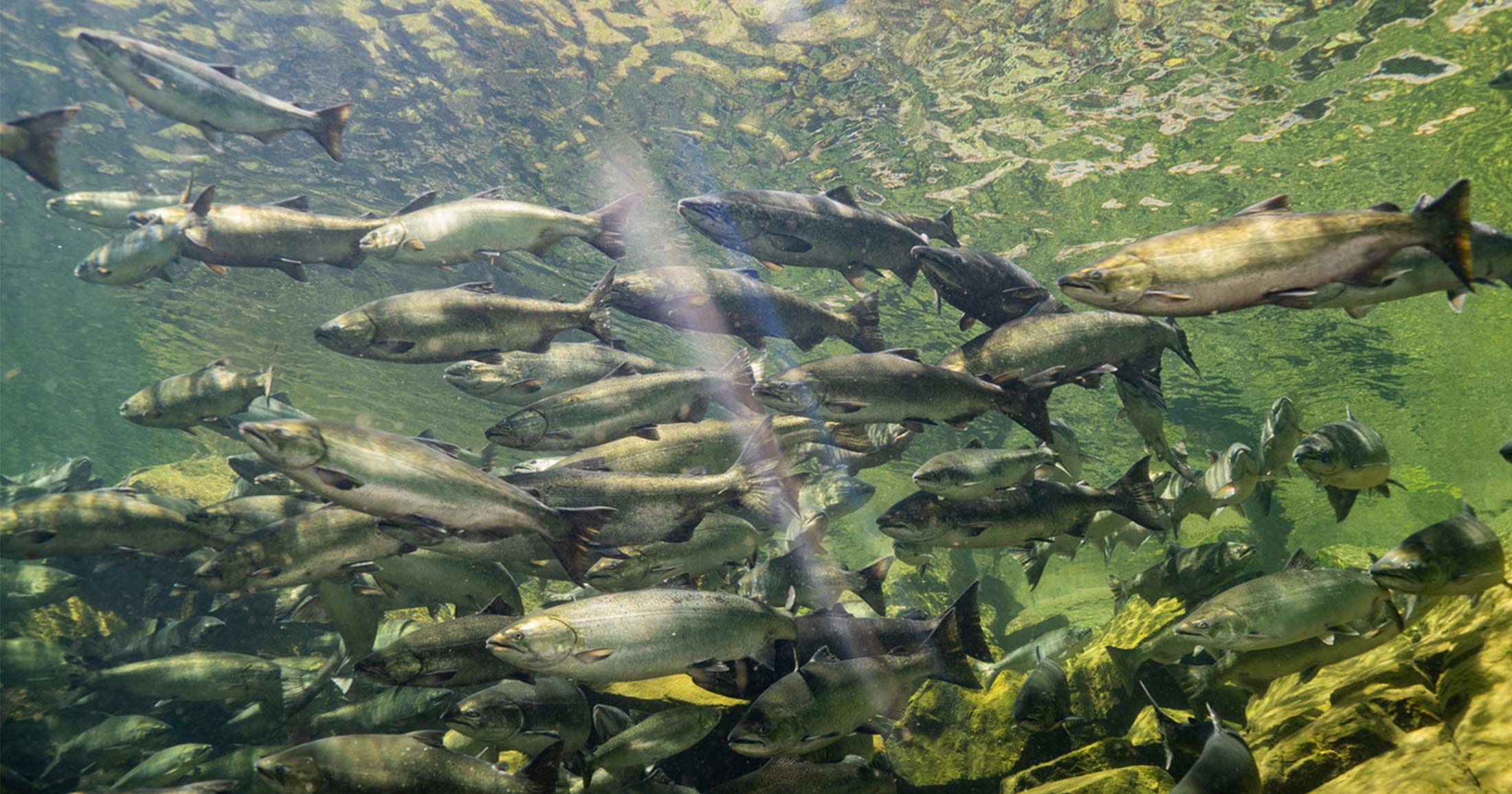
Underwater view of a school of Chinook salmon swimming.

Funding habitat restoration and conservation in the Lower Fraser Region
The AFER Network features working groups to provide space for focused discussion of key topics related to conservation initiatives in the Lower Fraser. On June 17th from 1-3 pm, we are launching our Funding and Fiscal tools Working Group, which will discuss what a post-covid funding world could look like, shifts in funders’ strategic focus, and the role of Diversity, Equity, and Inclusion in shaping funding priorities.
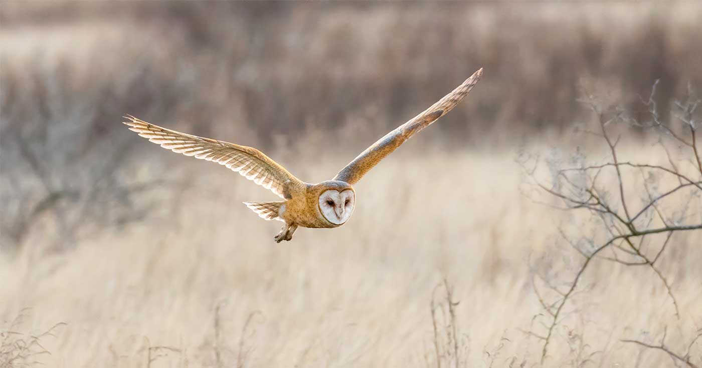
A barn owl flows low over the grass in the estuary with wings spread.

Rooting people to place through the Connected Estuary webinar series
Over the course of the Connected Estuary webinar series, we explored the connectivity and ecological importance of the Fraser River Estuary to a myriad of species, including Pacific salmon, Southern Resident killer whales and migratory birds.
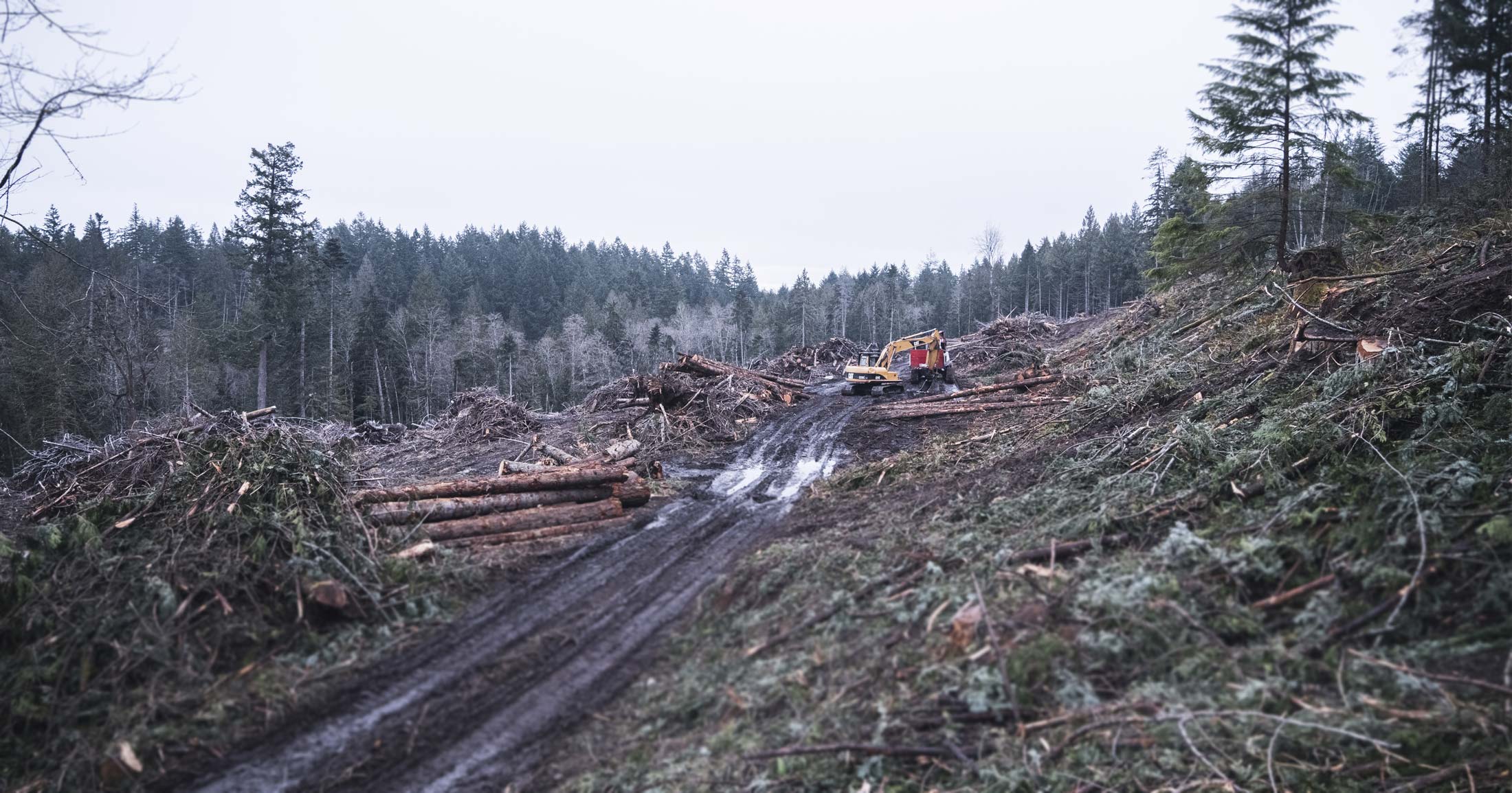
A cutblock covered in cut trees and muddy roads with a large digger on the Gulf Islands.

Cumulative impacts a serious problem for Gulf Islands forests

The Gulf Islands represent 33.2% of the provincial extent of Coastal Douglas-fir forests and associated habitats which are among the most biodiverse in the province. Yet, this region is also the most degraded.
Landscape drone photo of the Kamloops landscape.

The painful truth of colonization

In light of recent evidence of the unmarked graves of 215 children that have been found at the former Kamloops Indian Residential School in Canada, we express our deep condolences to the Tk’emlúps te Secwépemc, Residential School Survivors and all Indigenous people who continue to be affected.
Underwater shot of a chum salmon in the Fraser River

Join us for the last webinar of our Connected Estuary series

In Episode 6, we will build on this learning with Morgan Guerin, a community member, past Councilor, and Senior Marine Planning Specialist for the Musqueam Nation. Morgan is also an artist who has developed materials for the c̓əsnaʔəm exhibit at the Musqueam Community Cultural Centre and he continues to share his knowledge, expertise and teachings through tool-kits for use in schools and other communities.