
Oil and chemical spill tracking
Spills of oil and chemicals into freshwater and ocean environments have killed fish, degraded habitat, and led to closures of commercial, recreational, and Indigenous fisheries. Raincoast’s Healthy Waters Program is positioned to collect data at the scene of a spill and collaborate with various organizations and First Nations to understand the impact of a spill.

Spills happen
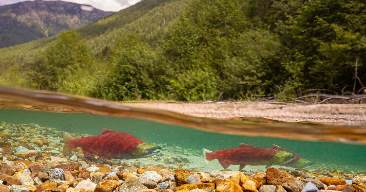
Spills originate from all manner of accidents. The 2005 train derailment that spilled caustic soda into the Cheakamus River that killed 500,000 fish, The 2015 spill of 3,000 L of Bunker C oil from the MV Marathassa into English Bay. The 2020 fire aboard the MV ZIM Kingston in Juan de Fuca Strait that resulted in the loss of 104 mixed cargo shipping containers into the ocean. Each and every accident is bad news, and threatens the health of fish and whales, and contributes to the degradation of their habitats.
Being prepared is key
Given the sudden and unpredictable nature of oil and chemical spills, our oil and chemical spill response work entails being agile and available for support to First Nations, government agencies, and industry during a major spill. We are developing science protocols, and acquiring sampling kits, field equipment, and safety gear, and are poised to deploy our team to the scene of a spill.
Being prepared on all fronts is key to limiting the damage from a spill. We recognize that with spills, it’s not a matter of if, but when. Research and monitoring to confirm the origin of the spill, track the fate of the spilled product, and monitor the recovery of ecosystem components routinely fails to be a priority. We will deploy expert capacity where and when needed, and work to prevent harm to valued ecosystem components.
Semá:th X̱ó:tsa (Sumas Lake) Floods of 2021
The catastrophic floods of late 2021 in southern British Columbia (Canada) and neighbouring Washington State (USA) destroyed homes, farms and businesses, with excess water spilling debris, animal carcasses and diesel fuel into historically productive fish habitat.
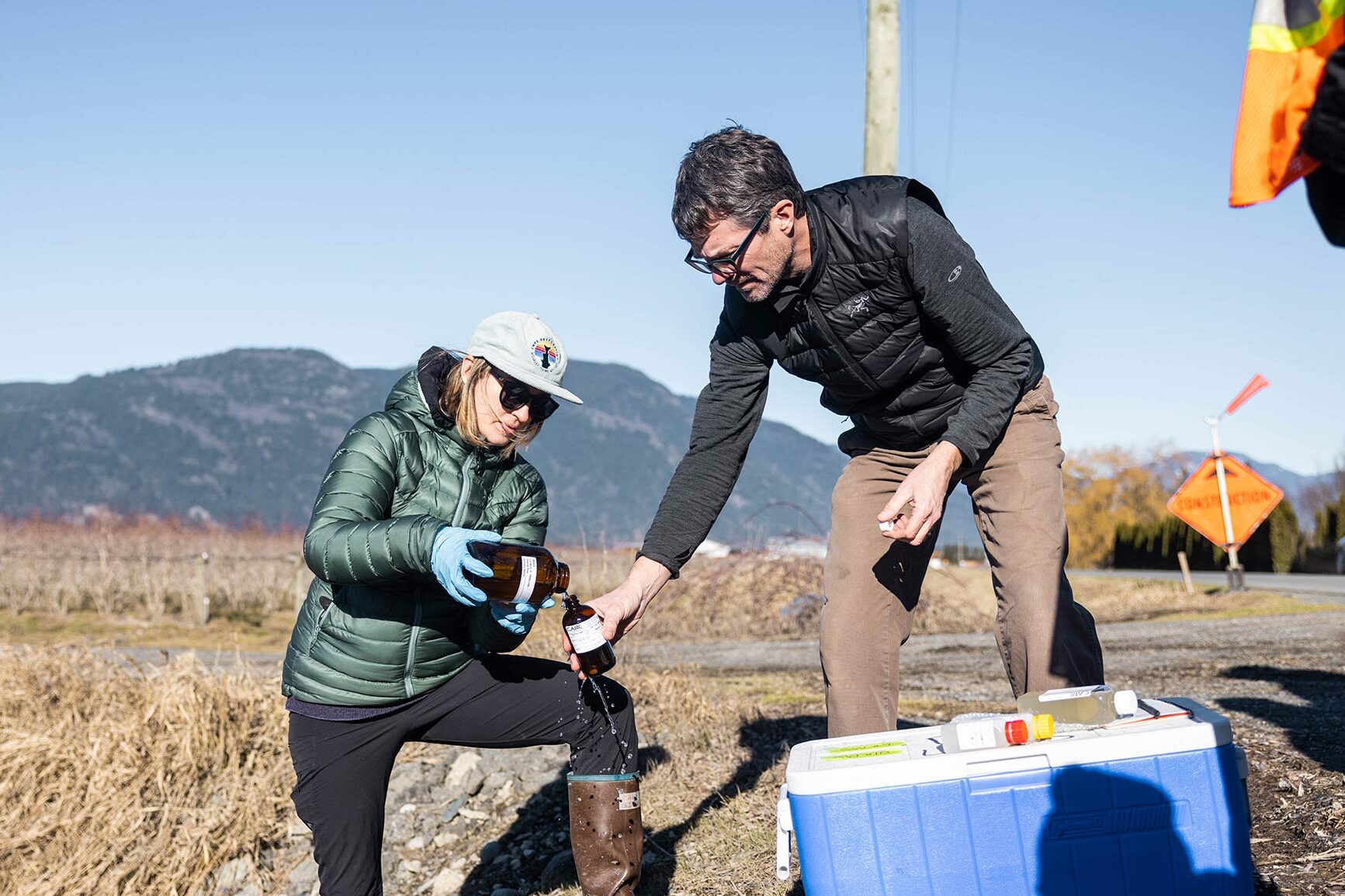
We assembled a team to assess water quality in the former Semá:th X̱ó:tsa (Sumas Lake) area of the Fraser Valley over a seven-week period after the floods. We collected water samples from 11 surface water sites and four groundwater sites for comprehensive contaminant analysis and a subsequent risk-based evaluation. We measured 379 analytes (chemical components and bacteria), including 262 anthropogenic contaminants. We examined excess nutrients, metals, fecal coliform, hydrocarbons, pesticides, pharmaceuticals, and personal care products, perfluorinated compounds, sucralose, and tire-related chemicals.
Recent articles

The story of Coastal Douglas-fir forests: Living within rather than apart from the places that sustain us
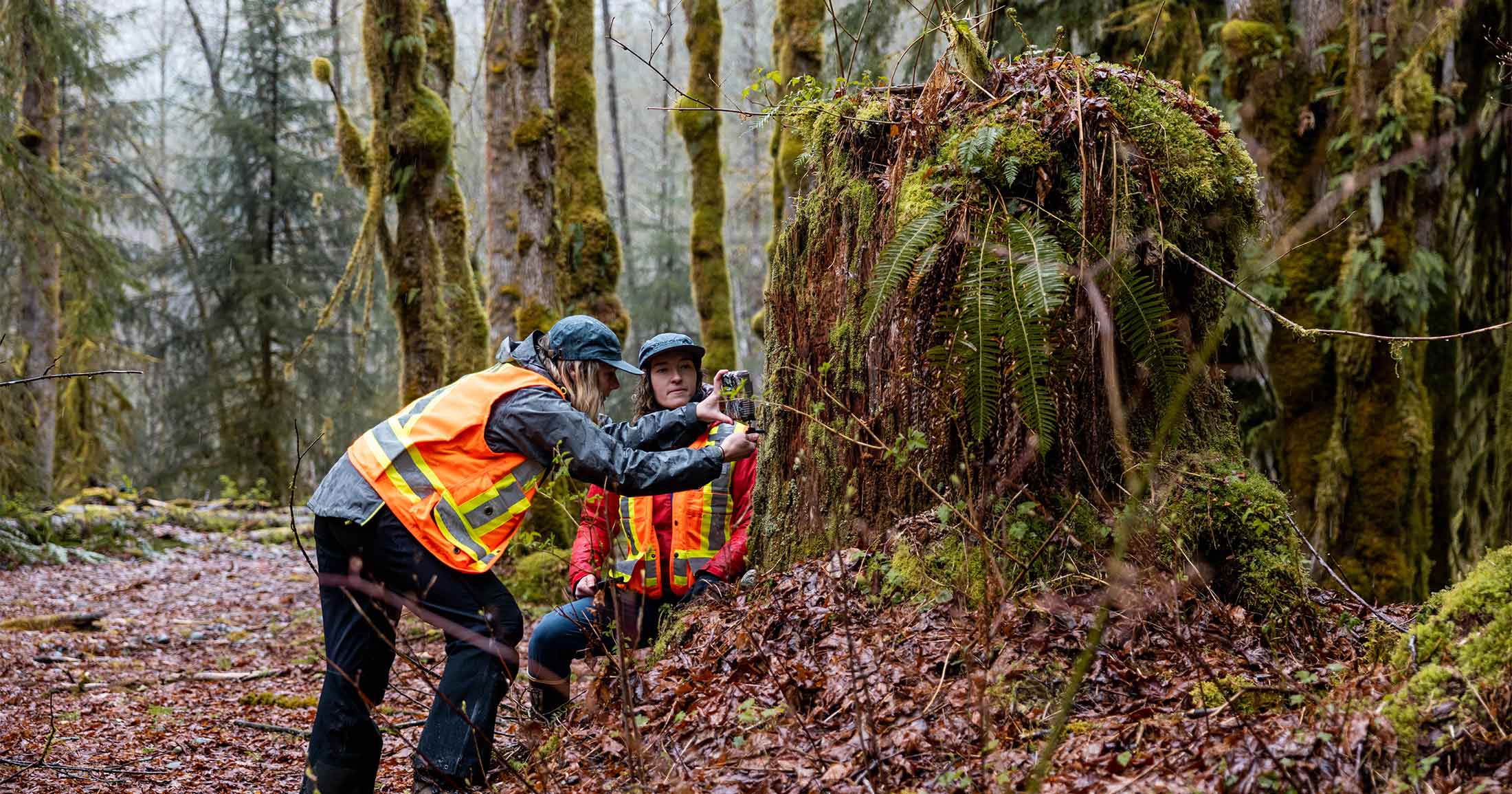
Landslides, clearcuts, and camera traps: surveilling wolves on an industrial landscape
Maxwell Creek Watershed Project Field Files Part 1: Project Impetus

KELÁ_EKE Kingfisher Forest matching campaign update
The story of Coastal Douglas-fir forests: An ancient legacy, a critical future

The cull of the wild: management for industry, not wolves

The Kitlope: A place that changes you