The Islands Trust is failing to protect water and forests
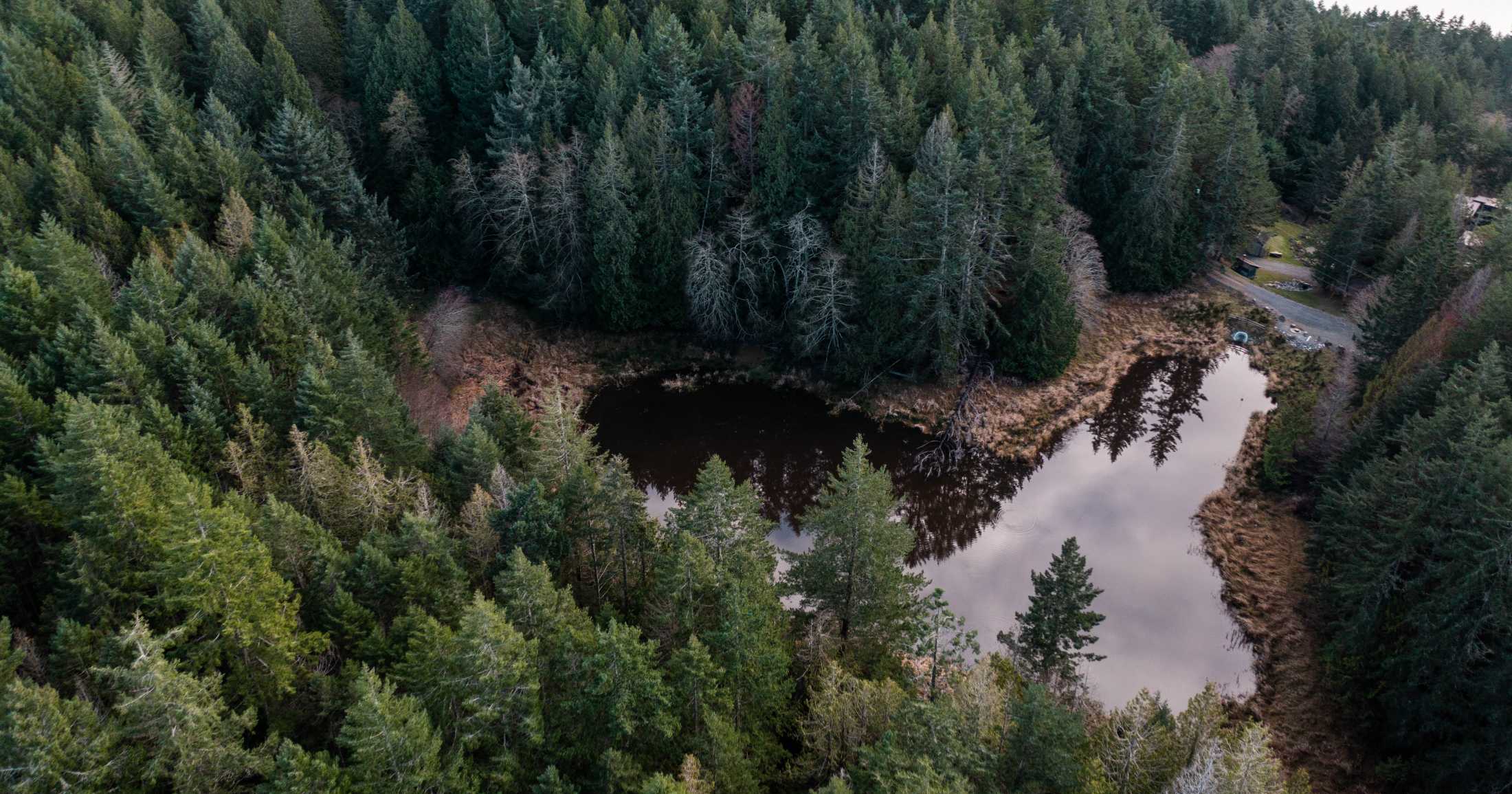
Islands in the Salish Sea are experiencing a worsening seasonal water deficit.
At the Islands Trust Council’s most recent meeting in September 2023, Local Trustees reached consensus that their legally mandated object to “preserve and protect the Trust Area and its unique amenities and environment” is inclusive of human built infrastructure and services. This is a new twist on the previous assumptions of what is meant by ‘unique amenities’.
Interpreting this section of the object has always been sticky, as the intent at the time of writing the Islands Trust Act in the 1970s would have reflected the non-urban infrastructure and low density of the Gulf Islands. However, interpreting ‘unique amenities’ must also reflect the fact that unlike municipalities, the Islands Trust is not a local government. It is a special purpose federation, or in other words a ‘trust’. By attempting to encroach on the responsibilities of other levels of government, the Trust is straying from its intended purpose; a move that puts the rare ecological communities under its care at further risk of fragmentation and degradation. This is especially concerning in 2023, one of the worst drought years seen in British Columbia in recent memory.
On southeastern Vancouver Island and nearby Gulf Islands, conditions have always been dry compared to nearby areas due to the rain shadow effect of inland mountains. Now, these areas are experiencing a worsening seasonal water deficit.
According to a climate projection report prepared for the Islands Trust in 2020, over the next 20 to 70 years the region can expect warmer overall temperatures, more extreme heat days, less rain, longer droughts, and more intense storms. These projections also found that rainfall events will likely intensify in the fall and winter, meaning more rainfall in shorter amounts of time. Yet, a high proportion of that water will be lost to run-off, contributing little to building local freshwater supply.
Topography, soil type, geology, climate, vegetation, and a variety of other factors contribute to the ability of the landscape to capture and maintain freshwater supply. Areas with steep slopes, impermeable sediments, naturally dry seasonal conditions, and disturbed vegetation layers, like the Gulf Islands, are increasingly susceptible to decreasing freshwater recharge.


This is especially problematic in coastal environments where a shrinking freshwater supply can result in saltwater intrusion, a threat exacerbated by a rising sea level and increased storm surge frequency, both of which can introduce saltwater to freshwater systems.
Due to the complex geology of each Gulf Island, which can shift freshwater behavior from season to season and year to year, quantifying current and future freshwater availability is challenging, and made more difficult by the uncertainty of climate change. In such situations, application of the precautionary principle can help bridge the gap between uncertainty and action.
Still, the Islands Trust continues to side-step environmental concerns despite a legally mandated object to “preserve and protect” and a Climate Emergency Declaration committing to urgent climate action across the Trust area.
On the ground, that urgency more closely resembles inertia.
On Salt Spring, the Local Trust Committee has failed to implement recommendations of the Trust’s own Senior Freshwater Expert to strengthen pump test requirements for new subdivisions.
On North Pender, the Magic Lake subdivision, the very development that prompted the formation of the Trust in the first place, has experienced multiple mini clearcuts to make way for unaffordable (and often seasonal) residences.
On Galiano, multiple waterfront properties are already experiencing saltwater intrusion in wells, prompting some property holders to install higher pumps or drill additional wells.

On Gabriola, multiple families depend on water trucks from Naniamo to deliver their water, despite a Trust-wide policy that each island shall retain a self-sufficient water supply.
A high volume of development applications continues to be approved, while the Trust refuses to pursue stronger, enforceable land-use protections. The Gulf Islands remain exempt from the provincial speculation tax, short-term vacation rentals across the Trust area are largely unregulated and contribute to draining freshwater supply in drier months, and the B.C. government has failed to support strengthened ecological protection in the region.
So how can the Trust protect freshwater and better address climate change impacts more generally?
The increasing generation of greenhouse gases continues to drive global climate disruption such as irregular, unpredictable, and often unprecedented weather patterns. Although this has been well documented by over 100 years of climate science, decision-makers at large have substantially disregarded it, and so the process drives on. However, localized mechanisms can also influence climate and impact ecological processes at the community scale.
Land use change is identified by meteorologist and climate scientist Dr. Millán M. Millán as “the second leg of human-induced climate change” with the power to disrupt weather patterns and influence climate. According to Millán, “water begets water, soil is the womb, and vegetation is the midwife.”
Water that is held on the landscape nurtures the landscape, as intact ecosystems strengthen soil stability, moderate temperature, improve air and water quality, and increase water storage capacity, among myriad other functions. Thus, at the local level, addressing climate change translates into protecting habitat.


The primary role of the Islands Trust is to make land-use decisions through the lens of their preserve and protect mandate. Increasing development pressure and lack of leadership continues to put the unique ecosystems characteristic to the Gulf Islands — and the human and non-human communities who depend on them — at risk.
In what has been one of the worst drought years in B.C. history, with the majority of the province experiencing Stage 4 or 5 drought into September, business as usual approaches will not suffice.
A version of this article was originally published in the Times Colonist.
References
Brown, K.J., Hebda, N.J.R., Hebda, R.J., Fitton, R., Trofymow, J.A., & Conder, N. (2022). Development and wildfire dynamics of dry coastal temperate forests, BC, Canada. Canadian Journal of Forest Resources, 52: 1320–1333 (2022). DOI: 10.1139/cjfr-2022-0020
Green, R.N., and Klinka, K. 1994. A field guide for site identification and interpretation for the Vancouver forest region. Land Management Handbook 28. Crown Publications Inc., Victoria, British Columbia, Canada.
Lewis, R. (2023, July 17). Millan Millan and the Mystery of the Missing Mediterranean Storms. Resilience. https://www.resilience.org/stories/2023-07-17/millan-millan-and-the-mystery-of-the-missing-mediterranean-storms/
Millán, M. M. (2014). Extreme hydrometeorological events and climate change predictions in Europe. Journal of Hydrology (Amsterdam), 518, 206–224. DOI: 10.1016/j.jhydrol.2013.12.041
Sexauer, T. (Host). (2020, Oct 30). Professor Millian Millian: The second leg of climate change (No. 15). In Muse Ecology. https://museecology.com/2020/10/30/15-professor-millan-the-second-leg-of-climate-change/
Smith, H. G., Sheridan, G. J., Lane, P. N. J., Nyman, P., & Haydon, S. (2011). Wildfire effects on water quality in forest catchments: A review with implications for water supply. Journal of Hydrology (Amsterdam), 396(1), 170–192. DOI: 10.1016/j.jhydrol.2010.10.043
Zhang, M. & Wei, X. (2021). Deforestation, forestation, and water supply. Science, 371 (6533). DOI: 10.1126/science.abe7821
You can help
Raincoast’s in-house scientists, collaborating graduate students, postdoctoral fellows, and professors make us unique among conservation groups. We work with First Nations, academic institutions, government, and other NGOs to build support and inform decisions that protect aquatic and terrestrial ecosystems, and the wildlife that depend on them. We conduct ethically applied, process-oriented, and hypothesis-driven research that has immediate and relevant utility for conservation deliberations and the collective body of scientific knowledge.
We investigate to understand coastal species and processes. We inform by bringing science to decision-makers and communities. We inspire action to protect wildlife and wildlife habitats.

